History of the drowned village of Watergrove:
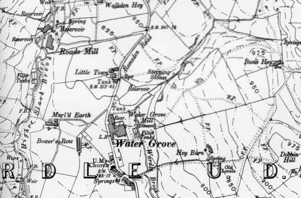
The drowned village of Watergrove lies nestled beneath a horseshoe ridge of hills in Wardle, Lancashire lay the village of Watergrove. This picturesque village, largely a Victorian creation, was surrounded by farms dating back to the 1700s. Furthermore, it was a wild and charming spot, adorned with sheep-grazed heather and whinberry moorlands. The local farms and houses were built with stone quarried from the nearby hills, while coal mining was also a significant industry in the area.
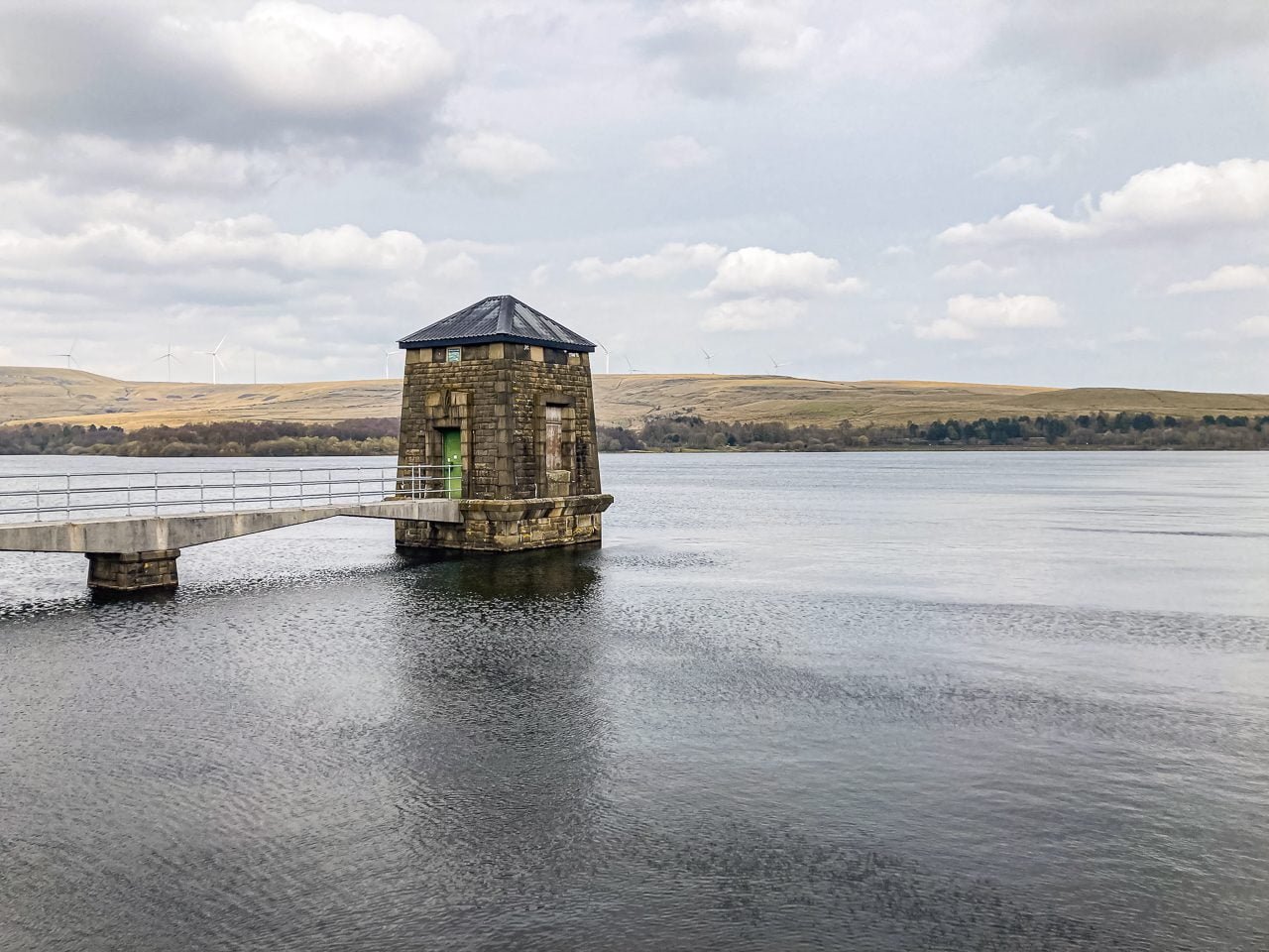
However, in the 1930s, the fate of Watergrove took a drastic turn. The decision was made to create a large reservoir to supply drinking water to Rochdale. As a result, not only was the village destined to disappear beneath the new lake, but the thirty surrounding farms above the waterline were also marked for demolition.

Watergrove Village, constructed in the 1840s, grew steadily over two decades, reaching a peak population of 300 residents. The village was supported by three mills: Watergrove Mill, Roads Mill, and Alder Bank. While the village boasted a Methodist church and a public house called The Orchard, it lacked a school, forcing the children to walk to the nearby Wardle for their education.
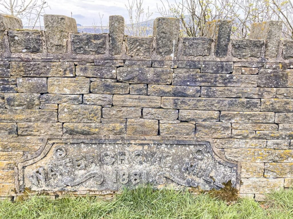
Watergrove Mill, a main employer in the village, was originally built in 1841 for weaving woollen cloth. Under the ownership of Mary Clayton, it expanded ten years later to produce cotton goods and employed 40 staff. By 1871, the mill had evolved into a large steam-powered factory.
The village is doomed:
The construction of the reservoir in the 1930s was a monumental undertaking that had a profound impact on the community. Not only did it provide much-needed employment during a time of high unemployment, but it also transformed the landscape forever.
With a compulsory purchase order granted, 500 men were employed to build the reservoir, using equipment from Roads Mill, which was relocated to Wicken Hall Mill in Lower Ogden. Watergrove Mill was also commandeered for the project, highlighting the scale of the construction.
However, over the next few years, the village was forever changed as most of the surrounding farms were destroyed, some even subjected to dynamiting, leaving behind only ruins. The village buildings themselves were also demolished to make way for the reservoir, which was officially opened on April 6th, 1938.
The construction of the reservoir was a monumental task, requiring a great deal of hard work, sacrifice, and dedication from those involved. The photographs showcasing the construction of the reservoir offer a glimpse into the sheer scale of the project and the transformation of the landscape.
Impact of the Reservoir on the local area:
It’s hard to imagine the impact that the construction of the reservoir had on the community. The loss of the surrounding farms and village buildings was a profoundly emotional experience for those who lived there. However, the finished reservoir provided a vital resource for the community, ensuring they had access to clean drinking water for years to come.
In conclusion, the construction of the reservoir was a feat of engineering that transformed the landscape of the community forever. It provided much-needed employment during a time of high unemployment while also ensuring access to clean drinking water for the community. The photographs showcasing the construction of the reservoir are a testament to the hard work, sacrifice, and dedication of those involved in the project.

Remnants of past lives:
Watergrove’s drowned village has remnants from 1646. Stones from the village and surrounding farms are preserved in the Wave Wall on Watergrove Reservoir banks. Mills once active now lie submerged. During dry weather, foundations re-emerge, hinting at their former existence.
Ramsden Road leads to ruins, each with its name on signs. Littletown Farm is first, followed by Steward Barn. Thimble Hall, a notable property, is located just off Ramsden Road. The landscape reveals ruined farms, like Lower Slack Barn and Alder Bank House. Old quarries that extracted stone for the village are also visible.
A single tenant farmer manages a large flock of sheep in the modern-day landscape. Efforts are being made to restore a more diverse ecosystem. Local rangers have successfully conducted heather regeneration experiments. The reservoir’s immediate surroundings have a rich array of wildflowers during summer.
Visiting the area:
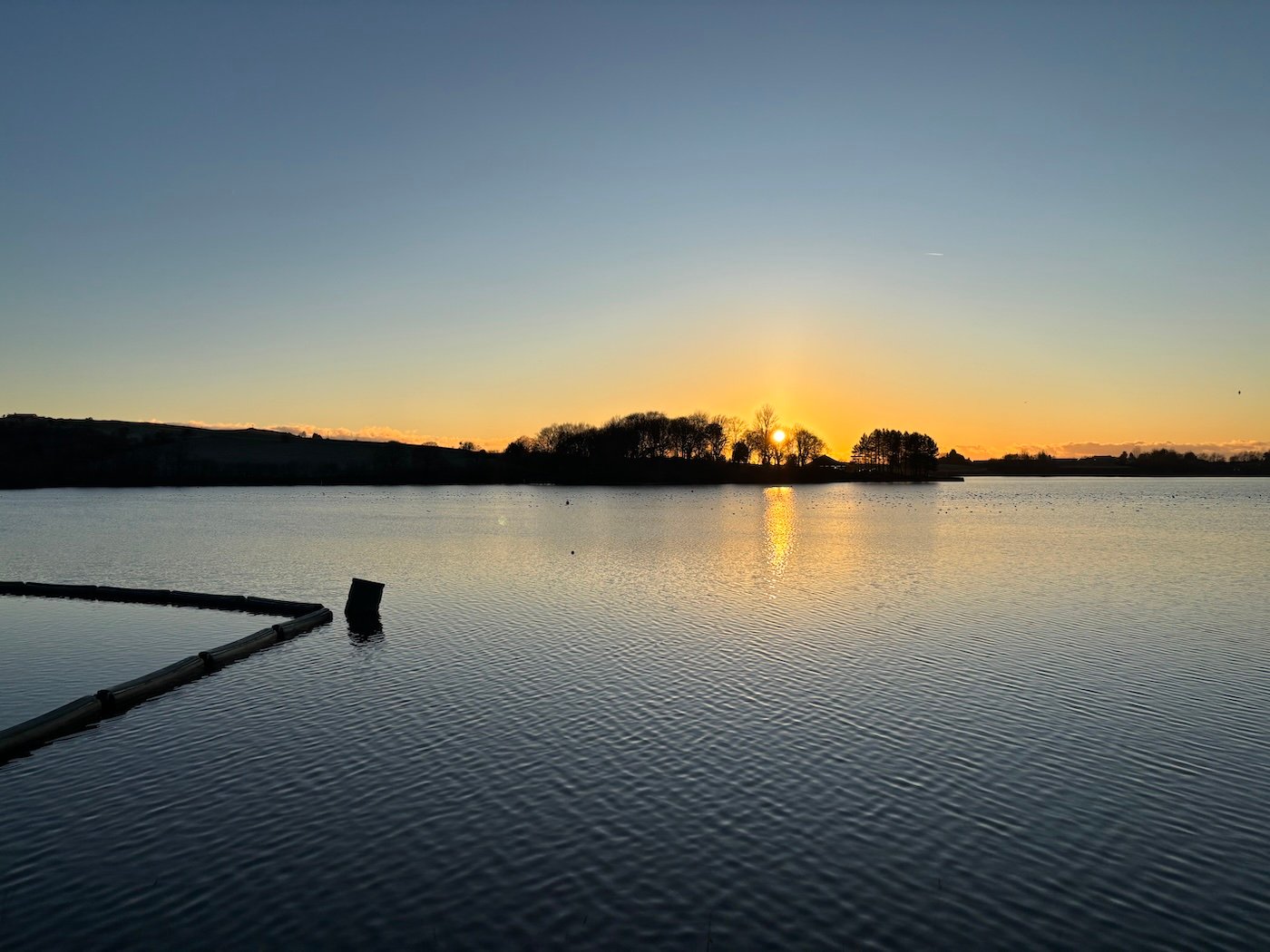
Watergrove Reservoir and its drowned village offer a fascinating glimpse into Lancashire’s past. Today, visitors can explore the ruins, appreciate the preserved date stones, and marvel at the transformation of the landscape. The reservoir stands as a testament to the ever-changing nature of our world, where progress and the need for resources can reshape communities and landscapes.
Car Parking:
For those planning a visit, the site is open to the public, with a free car park available at the reservoir.
Location: Ramsden Rd, Wardle, Rochdale OL12 9NH.
There is a separate disabled car park, accessed with a key. Contact: 01706 881 049.
Public transport:
The 456 Lakeline bus drops off at Chapel, in Wardle village.
Things to do:
- Bird-watching – Key access to the bird hide is only available by contacting 01706 881 049.
- Walking – check out this map for details of circular walks around the reservoir.
- Bridleways – Mary Towneley Loop is part of the Pennine Bridleway. See the map for details.
- Sailing – The West Pennine Windsurfing Club has lots of activities on offer, from windsurfing and paddleboarding to kayaking and canoeing.
References:


